- Circular route
Kahler Asten Trail Marathon 30 km short distance
Short course over 30 km of the Kahler Asten Trail Marathon.
Tour starting point:
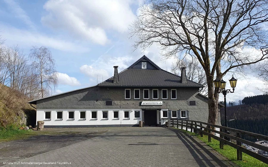
Nordenau Schützenhalle
Tour destination point:
Nordenau Schützenhalle
Properties:
Category
Mountain bike tourLength
30.4 kmDuration
4:30 hElevation ascent
875 mElevation descent
880 mLowest point
482 mHighest point
779 mCondition
Difficulty
The short 30 km route of the Kahler Asten Trail Marathon starts at the Schützenhalle and leads briefly uphill via Herhagen into the Nordenau valley. This is followed by a steep ascent through the Astenberg ski area. After a few descents, the route climbs uphill again over beautiful trails to the Wesenberg. After a steep trail descent, which takes us to the lowest point of the route, there is another long ascent almost as far as Astenberg. Now it's time to gather strength for the steep final ascent, which is paved for the last 400 meters, on a long descent, which is interrupted by a beautiful trail.
Information
Equipment
We recommend that you wear a cycle helmet, wear clothing suitable for the weather and bring sufficient food and drink.
Safety guidelines
A rescue point system has been installed in the Hochsauerland district. Rescue points can be found on the information boards at junctions and on the hiking signs.

